GPS Camera - GPS Map
Screenshots
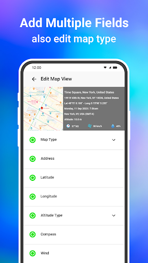
Features of GPS Camera - GPS Map
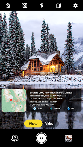
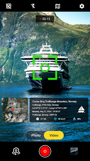
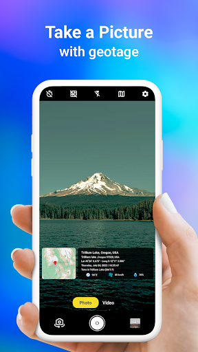
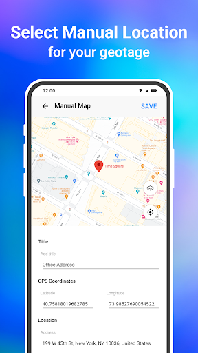
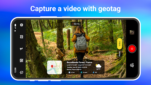
Geotagging Photos
GPS Camera - GPS Map allows users to geotag photos with precise location data, enabling them to easily organize and share their images based on where they were taken. This feature is helpful for creating travel albums or documenting specific locations.
Augmented Reality Navigation
With the app's augmented reality navigation feature, users can leverage their device's camera to view real-time GPS location and directions overlayed onto the live camera feed. This dynamic functionality enhances outdoor exploration and simplifies navigating unfamiliar surroundings.
Location-Based Photo Filters
GPS Camera - GPS Map offers unique location-based photo filters that automatically adjust based on the user's geographic location. By adding a creative touch to images taken in different places, users can add context and a personalized flair to their photos effortlessly.