GPS Geotag Photos & Camera Map
Screenshots
Features of GPS Geotag Photos & Camera Map
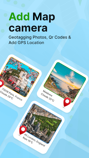
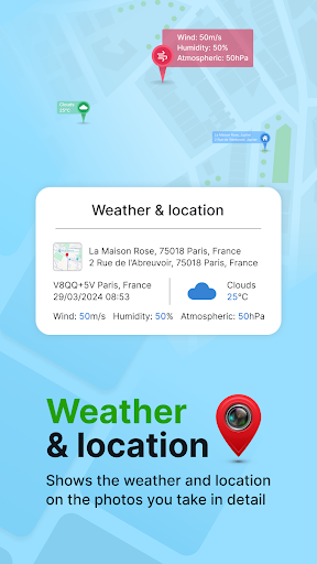
Geotagging Capability
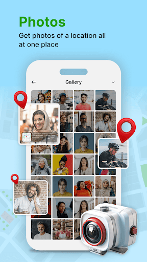
This app allows users to automatically add geolocation data to their photos, enhancing their organization and searchability. By recording where each photo was taken, it helps users create a detailed map of their photographic journey.
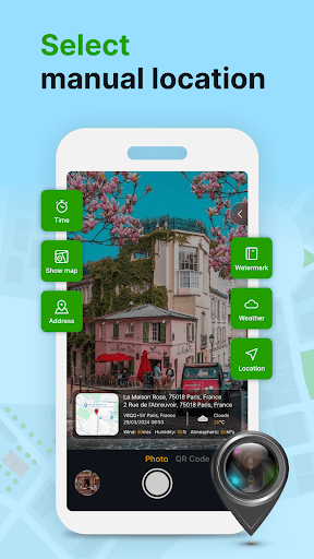
User-Friendly Interface
The application features an intuitive interface, making it easy for users to navigate through the various options and settings. This accessibility ensures that both novice and experienced users can utilize the app effectively without a steep learning curve.
Camera Functionality
In addition to geotagging, the app includes a built-in camera function that allows users to capture images directly within the app. This integration simplifies the process of tagging and organizing photos as they are taken, improving the overall user experience.